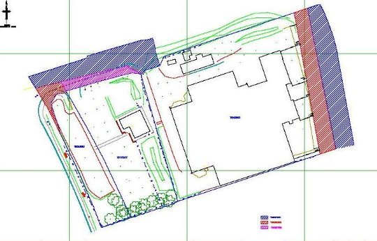
Boundary surveys
Any dispute over a boundary can cause all sorts of problems (financial and emotional) for land and property owners. If you are concerned about the position of the boundary, the most effective course of action will be to try and resolve the matter amicably with your neighbour. However, this may not be possible if you are already in dispute or you need independent expert advice concerning the boundary.
Many disputes are unnecessary and are due to the misinterpretation of the information on the Title Register and Title Plans (TP). TP’s are essentially copies of Ordnance Survey (OS) plans and do not show the Legal Boundaries of properties they do however show the General Boundaries of ownership and are subject to OS published accuracy and confidence limits. The inaccuracy of scaling distances off the TP combined with the inherent accuracy limitations of the plan will result in actual measured distances on the ground not matching the scaled distance on the TP this can lead to confusion or a false belief in the boundary position.

We are able to offer boundary surveys to the legal profession and the general public that include:
- Advice on boundary issues
- Accurate detailed surveys
- LRTP and historic OS analysis
- Aerial and ortho-rectified photography interpretation
- Preliminary evaluation reports
- Boundary determination
- Land Registry submission
- Expert witness reports compliant to Civil Procedure Rule 35
See our examples
page and contact us
for your individual requirements. (Home)
