
Site setting-out
Setting-out is the surveying process of accurately marking the position of a feature (e.g. boundary, building corners, foundation centerlines…) on the ground so that it can be built in the correct design position.
In an ideal world we would require digital copies of the original topographic (land) survey and the design in AutoCAD or compatible format. If either (or both) are unavailable then we will need to survey the site and prepare the setting-out information, which will result in additional site visit(s) and processing time.
If the setting-out information is readily available in the required format then the whole design can be uploaded into the surveying instrument. This eliminates data input errors, speeds up the setting-out process and reduces the need for manual on-site calculations.
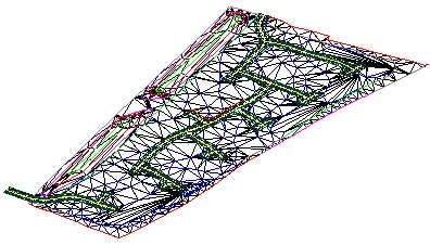
For earthworks we can set-out directly from the design Digital Terrain Model (DTM). This method of setting-out allows the direct measurements of cut or fill from any point on the ground surface to the design DTM.
See our examples page and contact us for your individual requirements. (Home)